 Loading... Please wait...
Set 09 - Southwest Virginia Guide Book and Maps
- Home
- Books & Maps
- Guide & Map Sets
- Set 09 - Southwest Virginia Guide Book and Maps
Set 09 - Southwest Virginia Guide Book and Maps
Product Description
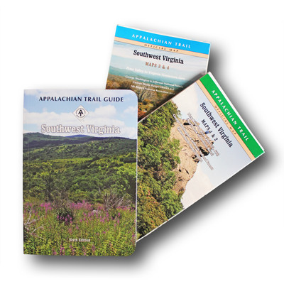
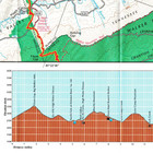
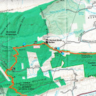
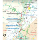
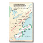
The Southwest Virginia edition covers 170.5 miles from Pearisburg on the New River to the Tennessee state line south of Damascus, primarily through the George Washington-Jefferson National Forests and including the Mount Rodgers Recreational Area in one guidebook and four maps on two sheets. The pocket-sized planning guide contains background and interpretive information, points of interest, general advice, shelters, water sources, and road crossings. The omnidirectional format allows you to see where you are whether southbound or northbound. Each map is focused on the Appalachian Trail and overlaps with the neighboring maps. The surrounding area, out to about three miles, and additional side trails are also included. An easy-to-use elevation profile shows ups and downs and the distance to the next campsite or shelter, side trails, and water sources. For added interest, maps indicate federal or state lands, road crossings, waterfalls, and scenic areas. Maps are both water- and tear-resistant.
- Maps 1 & 2: Southwest Virginia; New River to Rich Valley (North Fork of Holston River)
Seven-color, 1:63,360-scale topographic maps with 100 feet contour intervals. 1 inch = 1 mile. - Maps 3 & 4: Southwest Virginia; Poor Valley to Virginia-Tennessee Line
Seven-color, 1:63,360-scale topographic maps with 100 feet contour intervals. 1 inch = 1 mile.
Sixth Edition, 2015.
Find Similar Products by Category
Product Reviews
-
Great guide for section hiker

Christopher J Craig (Submitted on Aug 14th 2020)
I like using the ATC guides and maps for my section hikes. Together, they have good, accurate information on terrain, shelters and camping, and everything else on the trail for me. They don't give much information for services off the trail, so I have to go elsewhere for that. The SW VA guide has most of the great qualities as the others, but I did miss some of the natural and historical information that some of the other guides have.
-
Great maps and info

Mike (Submitted on Aug 11th 2019)
Love using these sets to plan section hikes on the AT. The maps are detailed enough to give me a good sense of direction and elevation change. The books have good trail info, but no info on surrounding areas. Book is too bulky for me to hike with, but I always take the map.
-
Southwest Virginia Maps 1,2,3,4

JJ (Submitted on Mar 21st 2019)
I found the maps very informative and easy to use. It did take some looking to understand that number 1 was the middle of the Virginia and #4 was at the end.

