Loading... Please wait...

Set 05 - Pennsylvania Guide with Maps

Set 05 - Pennsylvania Guide with Maps

$49.95
SKU
105
Rating
5 Stars

Sorry but this item is currently unavailable.

Please check back at a later stage.

Product Description

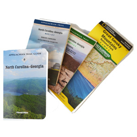
The Pennsylvania edition covers 229.3 miles from Delaware Water Gap National Recreation Area to the town of Pen Mar on the Maryland state line in one planning guide and five maps. The pocket-sized planning guide contains background and interpretive information, points of interest,  general advice,  shelters, water sources, and road crossings. The omnidirectional format allows you to see where you are whether southbound or northbound. Each map is focused on the Appalachian Trail and overlaps with the neighboring maps. The surrounding area, out to about three miles, and additional side trails are also included. An easy-to-use elevation profile shows ups and downs and the distance to the next campsite or shelter, side trails, and water sources. For added interest, maps indicate federal or state lands, road crossings, waterfalls, and scenic areas. Maps are both water- and tear-resistant.

Map Sections 1-6: Delaware Water Gap to Swatara Gap 
Published by Keystone Trails Association. 1:63,360-scale, 100 feet contour interval topographic maps. Revised 2004.

Map Sections 7 & 8: Susquehanna River to Swatara Gap
Published by Keystone Trails Association. 1:63,360-scale, 100 feet contour interval topographic maps. Revised 2010.

Map 1: Susquehanna River to PA Route 94 and other trails in Cumberland Valley 
Published by Potomac Appalachian Trail Club. 1:63,300-scale, 40 feet contour interval topographic maps. GPS compatible. Revised 2015.

Maps 2 & 3: PA Route 94 to US Route 30 and other trails in Michaux State Forest, Caledonia State Park, Pine Grove Furnace State Park, Kings Gap Environmental Education & Training Center 
Published by Potomac Appalachian Trail Club. 1:50,000-scale, 40 feet contour interval topographic maps. GPS compatible. Revised 2013.

Map 4: U.S. Route 30 to PA-MD State Line and other trails in Michaux State Forest 
Published by Potomac Appalachian Trail Club. 1:50,000-scale, 40 feet contour interval topographic maps. GPS compatible. Revised 2014.


The guidebook is published by Keystone Trails Association. Thirteenth Edition, 2023.

Find Similar Products by Category

Product Reviews

Write your own product review

  1. Appalachian Trail guidebook 5 Star Review

    (Submitted on Sep 29th 2020)

    excellent book and maps. Maps show elevation, parking, and shelters.


  2. Awesome product 5 Star Review

    (Submitted on Jul 29th 2020)

    Would recommend for anyone hiking the AT in PA. It's the best resource for planning a hike and while hiking.


  3. All you need to hike the AT in PA 5 Star Review

    (Submitted on Dec 29th 2019)

    I think the guide book and maps compliment each other. I'm glad I got both. With the maps, I get the details I need before the hike to plan logistics like parking, water sources, elevation, etc. With the guide book, I get details I can use to enjoy the hike, such as area history, ruins, vegetation and views. Well worth the purchase


  4. Lots of detail 5 Star Review

    (Submitted on Nov 25th 2019)

    I love the PA map set. I section hike, so I really appreciate knowing where I can park and seeing the side roads. I often try to make a loop, even if it means returning to the car by a dirt road or another trail, just to see some different country. The maps show all that, so I find them very useful


  5. Don't seem organized 3 Star Review

    (Submitted on Dec 16th 2018)

    I like having a paper map to help understand where I've gone and what is coming up. It's not very easy to do that with these maps. They are odd because they seem randomly labelled (some are numbered 1-5, but two are not numbered). It would be great to have a map of the entire trail in PA, that includes an indication of what section each section map covers. Overall, it's nice but feels like these could be streamlined and simpler. Shouldn't each map section be organized the same way, and include the same types of maps?


  6. Fast and Accurate! 5 Star Review

    (Submitted on Jul 26th 2018)

    I was a last minute planner, and these maps came quickly in plenty of time for me to pack them for our trip. They were super helpful--we would have gotten lost without them! The guide was very helpful as well as it had step by step descriptions for those less familiar or less confident in their hiking and directions.


Sign up to our newsletter

Click the button below to add the Set 05 - Pennsylvania Guide with Maps to your wish list.